• Home
  • Search
  • Browse Collections
  • My Account
  • About
  • DC Network Digital Commons Network™
Skip to main content
JMU Scholarly Commons James Madison University
  • Home
  • About
  • FAQ
  • My Account

Home > Special Collections > Robert James Sullivan Jr. Papers > Robert James Sullivan Jr. Papers

Robert James Sullivan Jr. Papers

Robert James Sullivan Jr. Papers

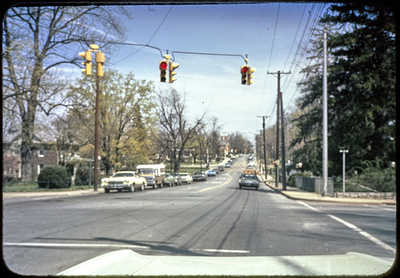
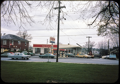
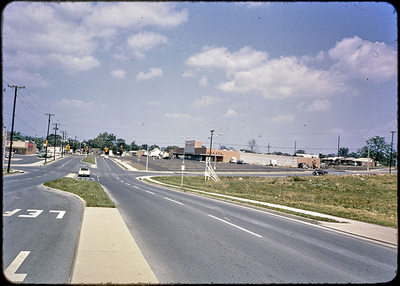
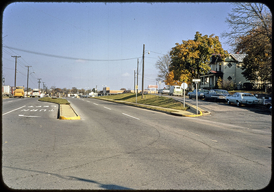
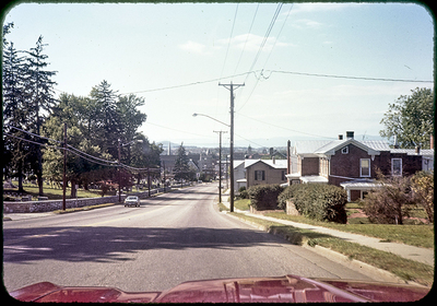
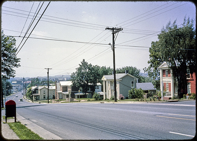
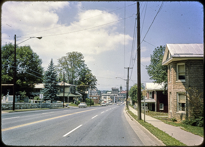
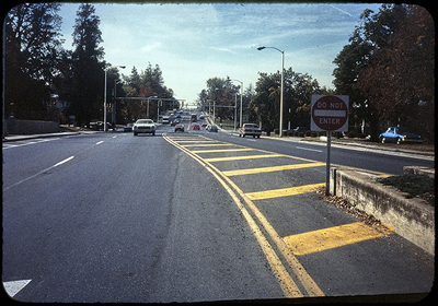
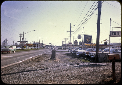
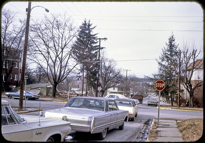
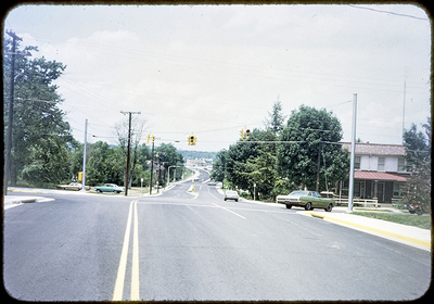
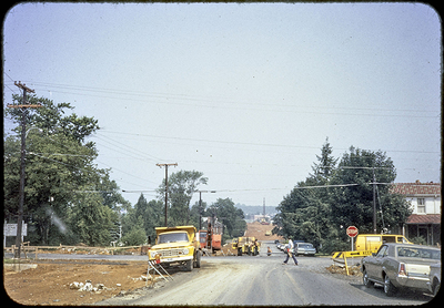
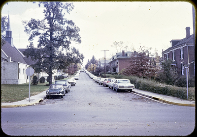
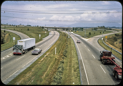
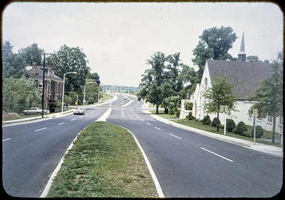
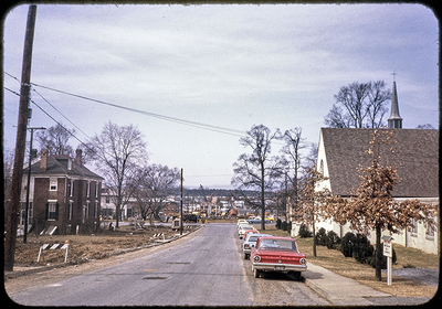
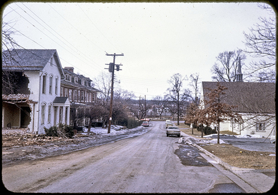
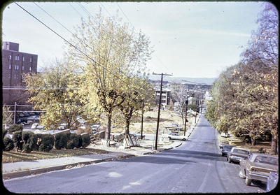
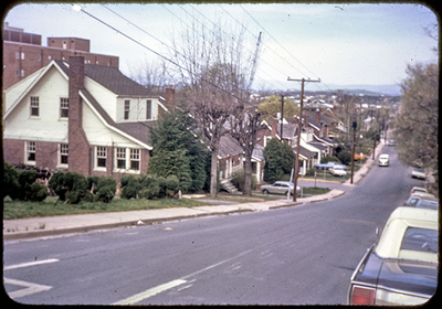
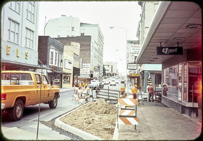
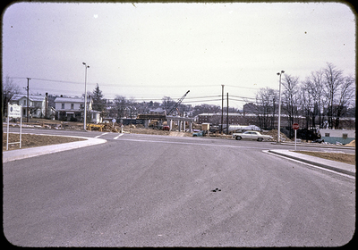
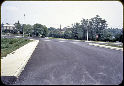
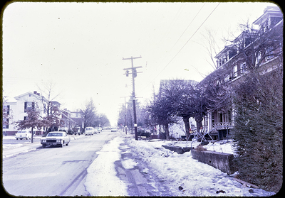
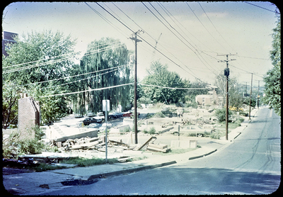
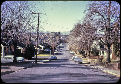
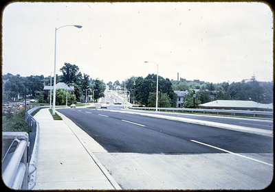
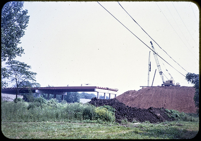
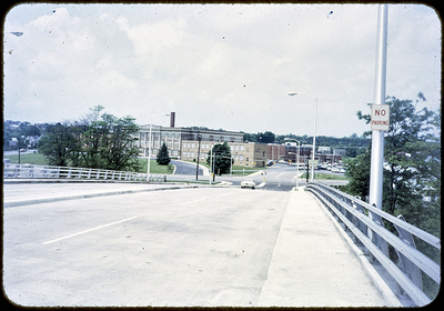
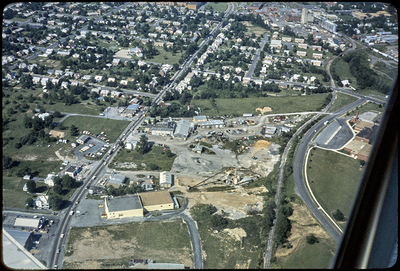
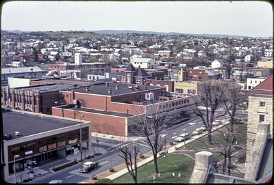
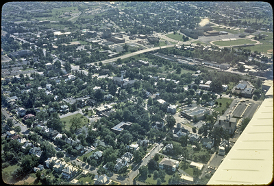
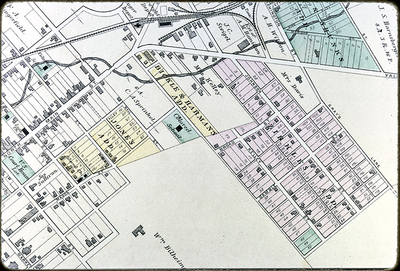
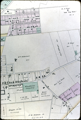
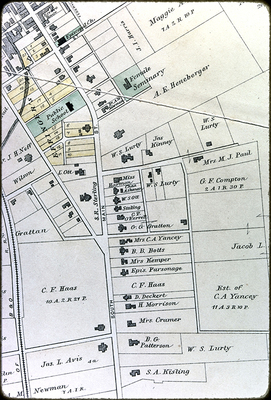
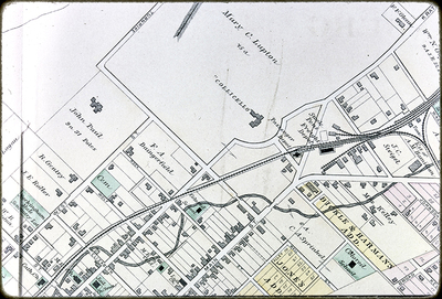
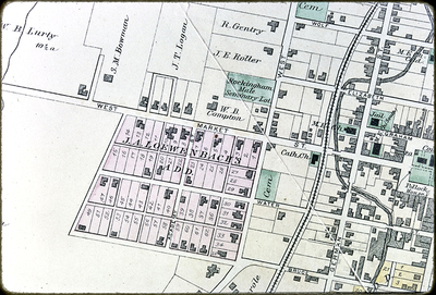
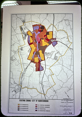
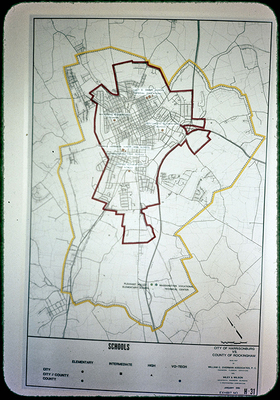
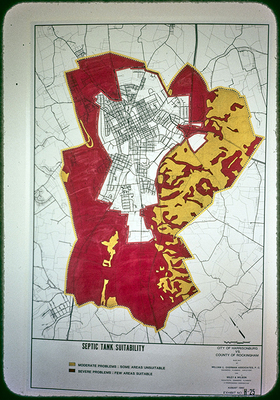
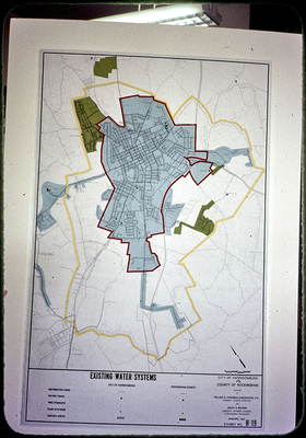
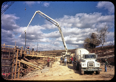
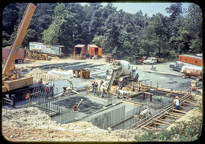
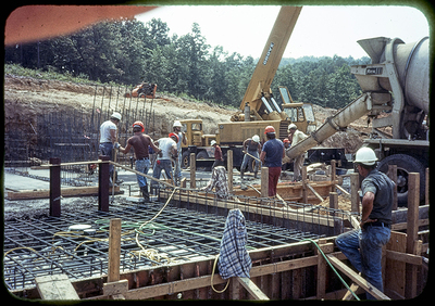
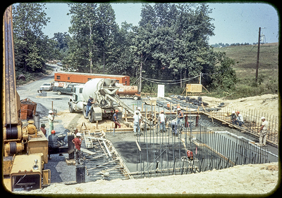
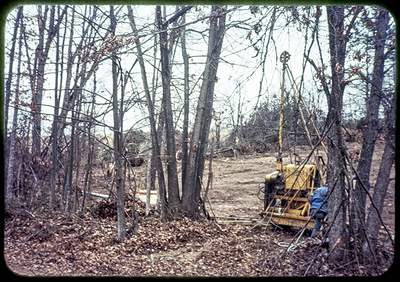
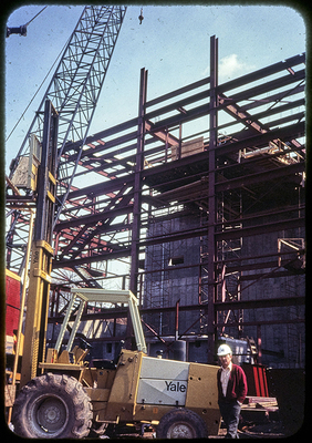
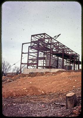
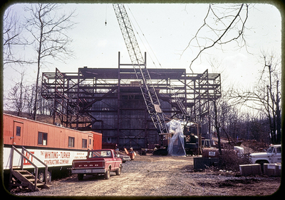
Robert James Sullivan Jr. was City Planner for Harrisonburg from 1965 until 1991 during a time of much growth and development for the city. He also taught as an adjunct professor of Political Science for James Madison University from 1970 until 2006 and served as the "unofficial historian" of the city of Harrisonburg during his lifetime. The collection contains materials related to all of these roles with particularly rich materials related to the growth of Harrisonburg from the 1950s to the early 1990s. There are many photos and slides that feature neighborhoods in Harrisonburg that are no longer in existence after the Urban Renewal projects of the 1960s and 1970s, as well as many maps of Harrisonburg showing projected growth. The links below represent groupings of images as organized and described by Robert J. Sullivan. Descriptive text and titles were taken directly from what was written on the slides themselves.

View images from the Photographs and Slides series below

  • 1978, 1979, and Spring 1980 (showing part of the Bicentennial Parade- Harrisonburg's 200th birthday)
  • Court Square (after landscaping) 1976-1977
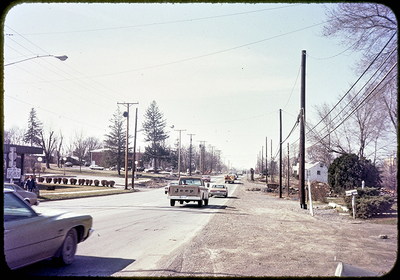
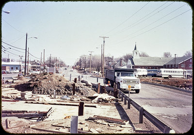
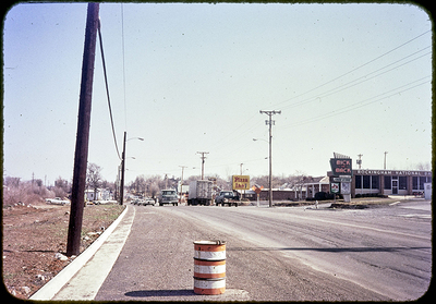
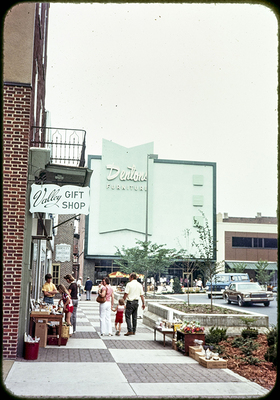
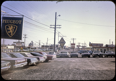
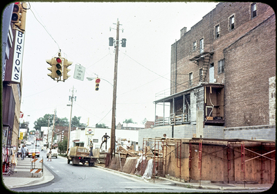
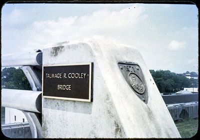
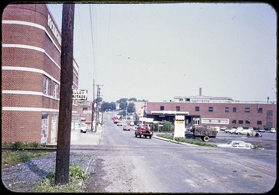
  • Downtown Photos, Various Items 1960s, 70s, 80s
  • Durham, NC Street Plantings and Downtown Beautification, 1976
  • Fall '79, Dry River Dam, '83, Mixed views etc., 1988
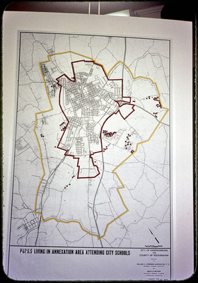
  • Historical structures and churches, schools and parks, JMU and EMC
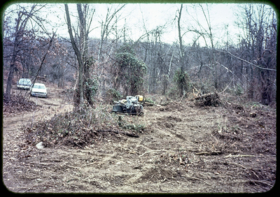
  • Housing— various types and situations
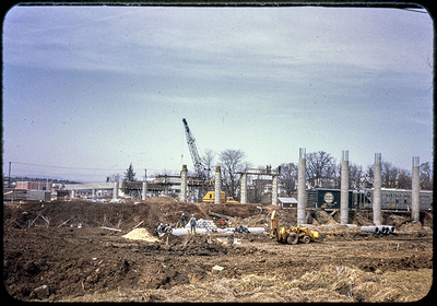
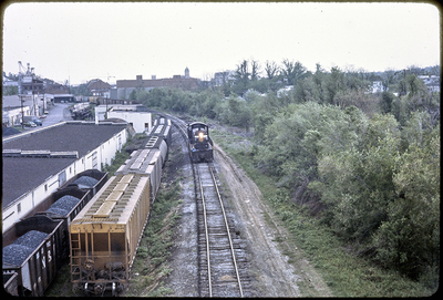
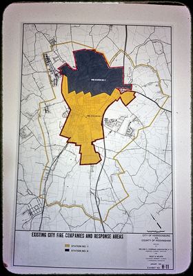
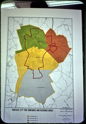
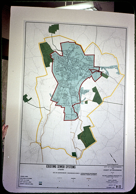
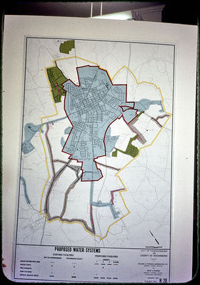
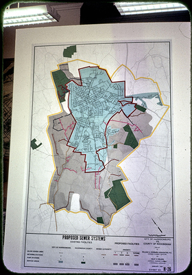
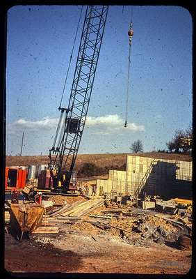
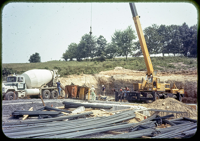
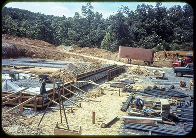
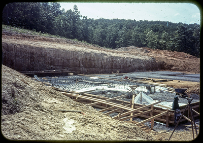
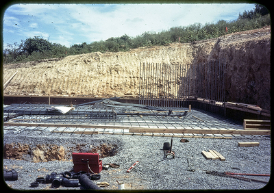
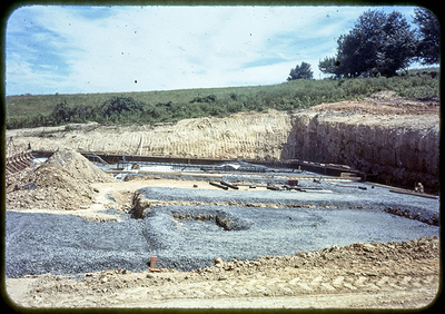
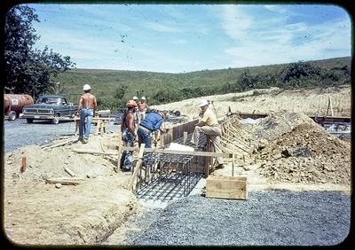
  • Industries, Railroad Pollution Scenes, City Facilities- parking lots, fire stations, police station, HEC; "Miscellaneous"
  • Late 1960s
  • May-July 1980
  • Non-Harrisonburg 1968-88
  • Old Town 1988
  • Pee Wee Football and Handley HS
  • Pre-Plan City
  • Reston, VA, Columbia, MD, Green Run, VA Beach 1970-1972
  • Slum slides
  • Steam plant pictures, Winter 1981-1982, Spring & Summer 1982
  • Street construction projects
Printing is not supported at the primary Gallery Thumbnail page. Please first navigate to a specific Image before printing.

Follow

Switch View to List View Slideshow
 
  • Map of 1885 Harrisonburg - S. Main and S. German St. from Bruce to Grace by James Madison University

    Map of 1885 Harrisonburg - S. Main and S. German St. from Bruce to Grace

  • Map of 1885 Harrisonburg - Northwest Section, Collicello House and railroad yards by James Madison University

    Map of 1885 Harrisonburg - Northwest Section, Collicello House and railroad yards

  • Map of 1885 Harrisonburg - Southwest Section, Lowenback Addition (Court Square on right) by James Madison University

    Map of 1885 Harrisonburg - Southwest Section, Lowenback Addition (Court Square on right)

  • Transportation Study Map - Future land use map by James Madison University

    Transportation Study Map - Future land use map

  • Transportation Study Map - Topography and soil condition map by James Madison University

    Transportation Study Map - Topography and soil condition map

  • Existing Land Use Map by James Madison University

    Existing Land Use Map

  • Zoning Map by James Madison University

    Zoning Map

  • Annexation Map, traffic volume leaving the city by James Madison University

    Annexation Map, traffic volume leaving the city

  • Annexation Map, traffic volume coming into the city by James Madison University

    Annexation Map, traffic volume coming into the city

  • Annexation Map, urban expansion lines expected by 1990's by James Madison University

    Annexation Map, urban expansion lines expected by 1990's

  • Annexation Map, city's previous annexations by James Madison University

    Annexation Map, city's previous annexations

  • Annexation Map, existing street light system by James Madison University

    Annexation Map, existing street light system

  • Annexation Map, existing land uses by James Madison University

    Annexation Map, existing land uses

  • Annexation Map, proposed police patrol areas by James Madison University

    Annexation Map, proposed police patrol areas

  • Annexation Map, existing police parol areas by James Madison University

    Annexation Map, existing police parol areas

  • Annexation Map, existing and proposed solid waste collection zones by James Madison University

    Annexation Map, existing and proposed solid waste collection zones

  • Annexation Map, existing Fire Deptartment Districts (2) by James Madison University

    Annexation Map, existing Fire Deptartment Districts (2)

  • Annexation Map, proposed Fire Department districts (4) by James Madison University

    Annexation Map, proposed Fire Department districts (4)

  • Annexation Map, where county students live who attend city schools by James Madison University

    Annexation Map, where county students live who attend city schools

  • Annexation Map, proposed public transport routes by James Madison University

    Annexation Map, proposed public transport routes

  • Annexation Map, city bus routes by James Madison University

    Annexation Map, city bus routes

  • Annexation Map, existing streets with curb and gutter by James Madison University

    Annexation Map, existing streets with curb and gutter

  • Annexation Map, existing and proposed Parks by James Madison University

    Annexation Map, existing and proposed Parks

  • Annexation Map, map of subdivisions since 1960 by James Madison University

    Annexation Map, map of subdivisions since 1960


Page 3 of 45

  • 1
  • 2
  • 3
  • 4
  • 5
  • 6
  • 7


Browse

  • Collections
  • Disciplines
  • Authors

Search

Advanced Search

  • Notify me via email or RSS

Author Corner

  • Author FAQ

Links

  • View Finding Aid

Other JMU Repositories

  • illumira Video Hosting
  • JMU Special Collections

Links

  • JMU Libraries
  • Search All Digital Commons Repositories

Gallery Locations

  • View gallery on map
  • View gallery in Google Earth
 
Elsevier - Digital Commons

Home | About | FAQ | My Account | Accessibility Statement

Privacy Copyright

James Madison University